
Developments in space technology are serving Antarctic scientists well. Starlink, European relay satellites and China’s growing suite of ocean-observation satellites, among others, are boosting connectivity and observational capability.
But new space technologies and developments may be making Antarctica less important real estate from which to support space systems.
Under the Antarctic Treaty, military equipment and personnel can be used only for peaceful, scientific purposes. Even so, there is speculation about China using Antarctica to station dual-use satellite-related equipment; that is, equipment for civil purposes with at least potential military use. Such concerns may need to be re-evaluated in light of developing Chinese space capabilities.
Seeing stars
A simple example is that ground stations in Antarctica have become less important for the accuracy of the GPS-like Beidou system in the southern hemisphere as China has gained additional stations in Africa and South America.
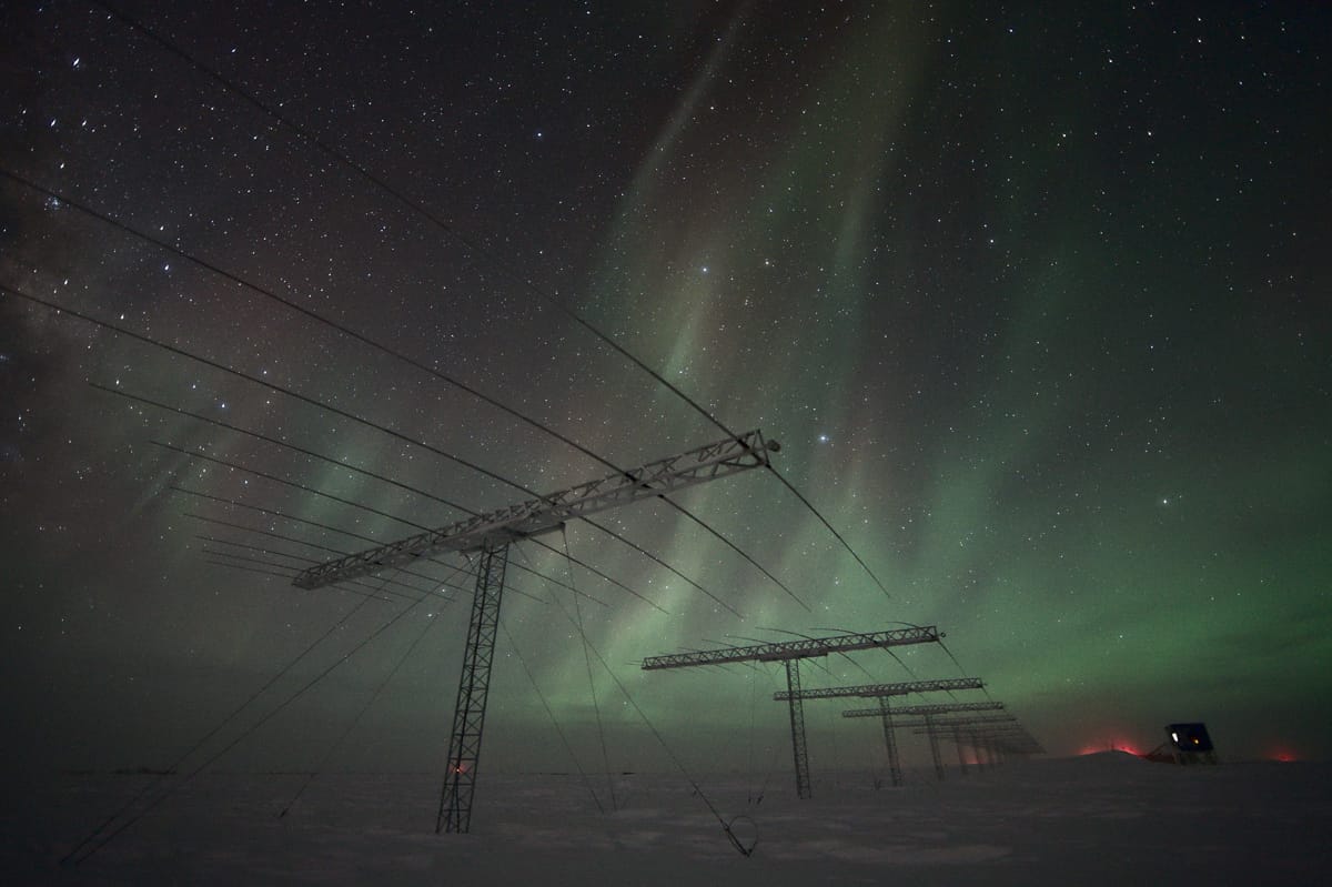
Other fears have been that China’s telescope at Kunlun, favoured by its clear skies, could help in targeting US satellites, especially when most polar satellites were US surveillance birds of one kind or another.
It is unclear what such ground stations in Antarctica would add to current substantial Chinese ability to observe – and presumably spy on – the Indo-Pacific region.
An argument against this concern has been that Kunlun lacks the secure, high-capacity communications needed to be part of a targeting system – it depends on Australian scientific infrastructure for its electrical power and satellite communications over winter. It would only slowly build up the pattern of satellites’ tracks. And the potential utility of Kunlun will lessen as China fields more polar and geostationary satellites that can observe US satellites directly from space and instantly transmit what they observe.
On the other hand, communications capacity out of Antarctica will improve as China sets up its own Starlink equivalent. Beijing aims to have two or more communications constellations by the late 2020s – or perhaps the early 2030s, as there are indications of problems and delays.
And China’s growing fleet of polar-orbiting ocean-observation satellites, the Haiyang class, will soon have ground stations in Antarctica. The Haiyang satellites could, for example, monitor the location of krill – and gather environmental data potentially useful for submarines – using the first of likely many moored Chinese subsurface buoys.
Some academics fear that the ground stations could spy on Australia and New Zealand. Yet it is unclear what such ground stations in Antarctica would add to current substantial Chinese ability to observe – and presumably spy on – the Indo-Pacific region.
Admittedly, ground stations could download data collected by a Haiyang satellite over the Pacific or Indian oceans, and then retransmit it via other satellites. Such relays could be faster than waiting till the collecting satellite is over home territory. (The Indian Bharati station in Antarctica has long served a similar function for a series of civil national remote sensing satellites.)
But China’s new Haiyang satellites likely could alternatively send their data back to China via relay satellites. Relay via ground stations may be unnecessary.
Coastal Antarctic ground stations in theory could be used for monitoring missiles that go around the globe to deliver manoeuvrable glide weapons against the United States from the south – known as “FOBs with Glider” – if China actually deploys such missiles rather than just testing them to complicate US planning. Yet China could more easily track and control such missiles via satellites, including communications and relay satellites. If ground stations were used in the glide phase, Chinese facilities in South America, not Antarctica, would be closer.
Spoofing and cooking
Spoofing satellite-based navigational systems has recently become an issue for civil aircraft, after drones crashed and civilian pilots found their location systems failing or giving false locations near the Black Sea, on Russia’s European borders, and in the Middle East.
But Antarctica is not likely to be a particularly useful site for spoofing much beyond the white continent. It is around 3,000 kilometres from Australia, which would affect the strength and angle of false signals – indicators that are used by anti-spoofing systems. And when it comes to disrupting polar-orbiting satellites, the greatest vulnerability is hacking of ground stations in home countries, rather than spoofing over the poles.
Another newly raised issue is whether lasers in Antarctica – specifically weather-related Light Detection and Ranging (LIDAR) systems – might temporarily blind or permanently disable sensors on satellites. Both actions would require more accuracy or more size and power than a civil LIDAR system would have, which could be detected by intelligence means or during inspections provided for by the Treaty. The military benefits of blinding or “cooking” a satellite over Antarctica, compared with the likelihood of discovery, are not obvious.
In this fast-moving area it is not possible to come to a definitive conclusion about the balance of technological effects from open sources without jumping to conclusions. Expert and classified knowledge of new space systems and developments is needed. But much assessment can be done far from the ice and should be a growing area of cooperation between states committed to a peaceful Antarctica.
